22. August, Dronero 625m – San Constanzo al Monte 800m – Santa Anna di Roccabruna 1252m, Albergo Roccere, up 850m down 200m 5h.
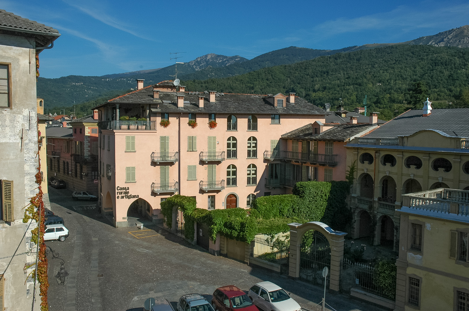
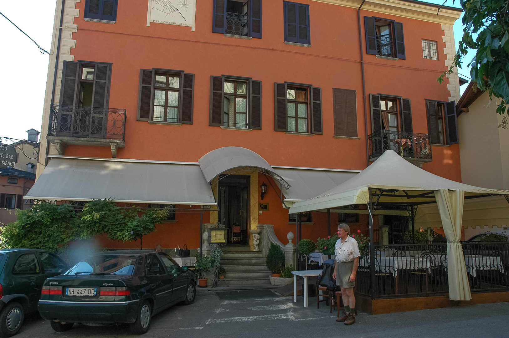
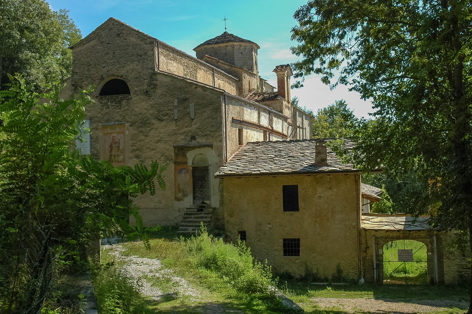
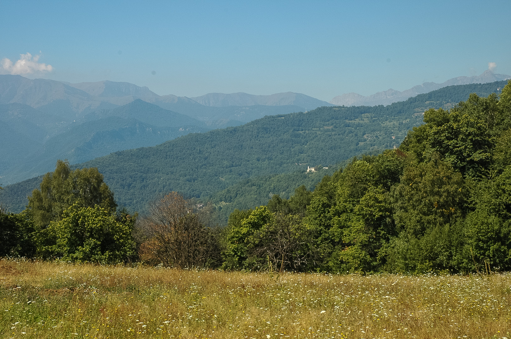
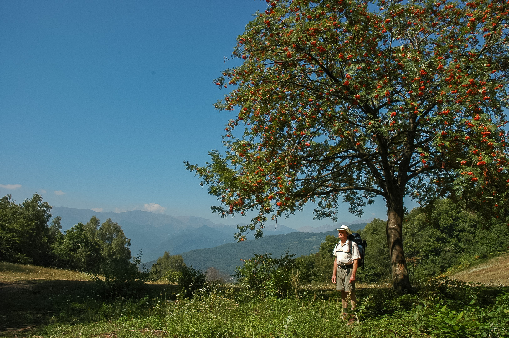
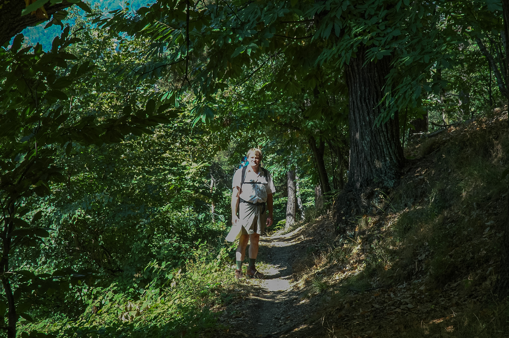
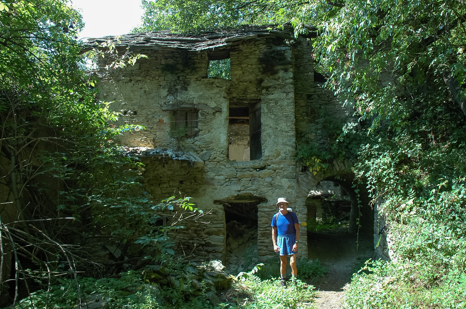
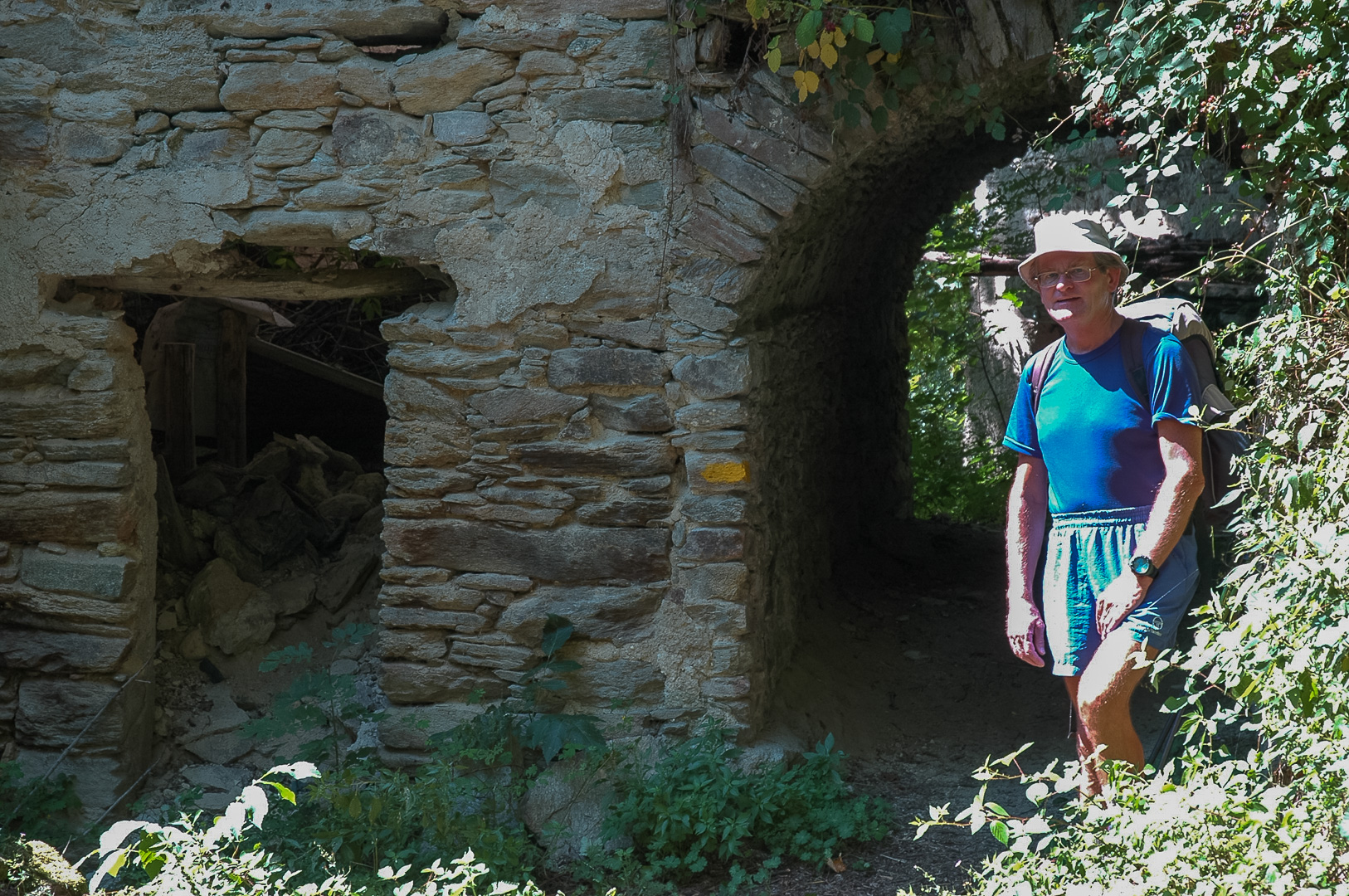
We started our hike in Valle Maira from Dronero leaving the centrally situated Hotel Cavello Blanco at 10 a.m. The marking for the Maira trail known as the Percorsi Occitani ( PO ) is a yellow rectangle, which is very frequent and usually clearly visible. After 1½ hours, we arrived at the church of San Constanzo al Monte and took the first break. It is an outpost of the San Constanzo monastery in the valley; the current church facade dates back to the 17th century and is surrounded by a complex of buildings and annexes. Despite the scaffolding, there was no activity to be seen. We enjoyed the peculiar atmosphere and harmony of the site. Soon the ascent became steeper, now just a path, and more and more I was reminded of Ticino as we walked through a forest of chestnut trees. A few kilometres from Dronero, we were already in the middle of an abandoned area. In a sunny clearing we walked through a ruined farmhouse that will eventually collapse completely. The many chestnut trees, which grow up to a height of 1000m, reminded us that intensive agriculture was practiced here only two generations ago. Later we reached 1030m at Croce Pian l’Aba, where we had lunch among more house ruins; the temperature was more pleasant here. We enjoyed the shaded paths, with a dry-stone wall on the right, the canopy of trees overhead, and the view of the valley to the left. Then there was an exhausting ¾ hour climb on a wide track with many hairpin bends, until we reached the Colle di Valmala, still an hour from our day’s destination. At 5:45 PM, we arrived in Santa Anna di Roccabruna. The accommodation, Albergo Roccere, was not a stylish building, but the food was good.